Part of the YH programme Mätningstekniker at TUC Yrkeshögskola. This course cannot be applied for on its own. Programme code: MÄTD23JÖN.
The course Laser Scanning, UAV, UAS and Aerial Photography gives you skills and competence in the laser scanning process and its different parts. You learn about UAS flying (drones) and how to plan and carry out aerial photography in its different phases. The course combines theory with practical field exercises where you collect and process geodata. The course is part of TUC's YH programme in surveying technology.
Duration: 5 weeks
Language: Swedish
Level: Intermediate
CSN-eligible
Time commitment: Equivalent to about 5 weeks of full-time study (25 YH credits), field exercises with drones and surveying equipment
The goal of the course is to give students skills and competence in the laser scanning process and its different parts, UAS flying, and the planning and different phases of aerial photography.
The goal of the course is to give students skills and competence in the laser scanning process and its different parts, UAS flying, and the planning and different phases of aerial photography.
What you will learn
What you learn.
You can explain the laser scanning process and its different parts.
You can plan and carry out UAS flights (drone flights) for data collection.
You can plan the different phases of aerial photography.
You can handle data collected from laser scanning and aerial photography.
You have basic competence to work practically with UAV/UAS equipment in the field.
Curriculum
How the course is built.
The laser scanning process
A review of the different parts of laser scanning and its applications.
UAS flying
Planning and carrying out flights with unmanned aircraft (drones).
Phases of aerial photography
Planning, carrying out and post-processing aerial photography.
Field exercises
Practical data collection with laser scanners and drones in the field.
Target audience
Who is this for?
The course is for you if you are studying TUC's YH programme in surveying technology and want to specialise in laser scanning and drone-based data collection.
What "verified" means here
Verified credential.
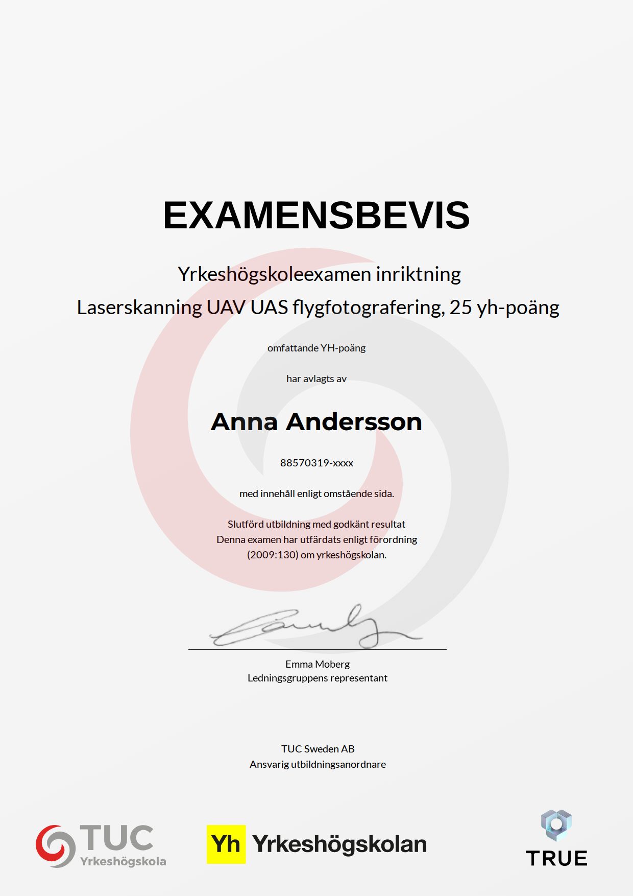
When you complete the course, TUC Yrkeshögskola issues your certificate. Your name, the course content and the issue date are encrypted and secured on blockchain, so it cannot be changed, and anyone can check that it is genuine.
100% Verifiable certificates Secured on blockchain