Part of the YH programme Mätningstekniker at TUC Yrkeshögskola. This course cannot be applied for on its own. Programme code: MÄTD23JÖN.
The course CAD, BIM and GIS gives you skills in producing and making changes to drawings and models. You gain an understanding of GIS tools and how geographic information can be used in the community development process. The course also gives you an understanding of how BIM can be used in all dimensions of the construction process, from design to facility management. The course is part of TUC's YH programme in surveying.
Duration: 6 weeks
Language: Swedish
Level: Intermediate
CSN-eligible
Time commitment: Equivalent to approx. 6 weeks of full-time study (30 YH credits)
The goal of the course is that, after completing it, the student will be able to produce and make changes to drawings and models, understand GIS tools and understand how BIM can be used in all dimensions of the construction process.
The goal of the course is that, after completing it, the student will be able to produce and make changes to drawings and models, understand GIS tools and understand how BIM can be used in all dimensions of the construction process.
What you will learn
What you learn.
You can produce and make changes to drawings and models using CAD.
You understand GIS tools and geographic information management.
You understand how BIM can be used in the different dimensions of the construction process.
You can combine CAD, BIM and GIS work in surveying projects.
Curriculum
How the course is built.
CAD - drawings and models
Producing and editing drawings and models in CAD programs.
GIS tools
The basics of geographic information systems and their use.
BIM in the construction process
How BIM is applied in different dimensions and stages of the construction process.
Integrated work with CAD, BIM and GIS
Practical application where the tools work together in a surveying project.
Target audience
Who is this for?
The course is aimed at you who are studying TUC's YH programme in surveying and want to develop your skills in CAD, BIM and GIS.
What "verified" means here
Verified credential.
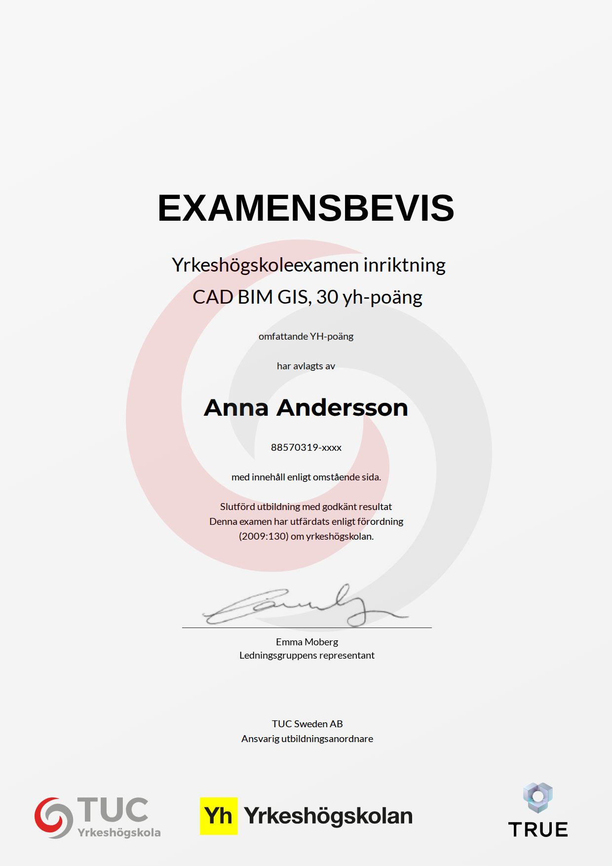
When you complete the course, TUC Yrkeshögskola issues your certificate. Your name, the course content and the issue date are encrypted and secured on blockchain, so it cannot be changed, and anyone can check that it is genuine.
100% Verifiable certificates Secured on blockchain